
Geography of Zambia
THE VICTORIA FALLS & LOWER ZAMBEZI

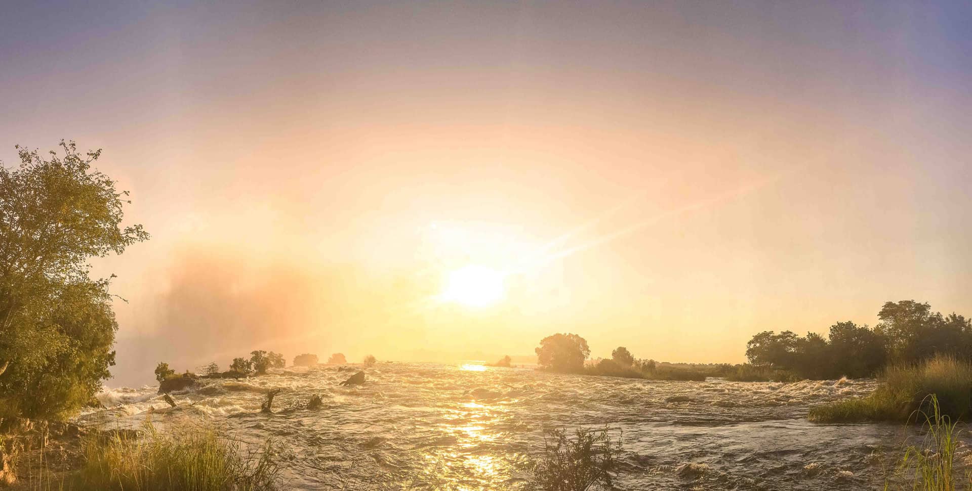
The Zambezi River is the fourth longest river in Africa, it is 2574 km (1599 mi) long. It finds its source at high elevation in the North Western province of Zambia and flows South West to Angola before veering South and entering Zambia again and crossing all the way to its Southern border with Namibia and Botswana where it takes a steady Eastern direction until it reaches the Victoria Falls. The waterfall is not the highest nor the widest in the world but it is considered to be the largest when combining its width (1708 m) and height (108 m) – it is the world’s largest sheet of falling water.
David Livingstone is believe to be the first European to discover the falls on 16 November 1855 but they had long been named Mosi-oa-Tunya or “The Smoke That Thunders” by the indigenous Lozi people. The name comes from the spray of water which can rise hundreds of meters and is visible from over 40 km (30 mi) away.
Below the falls the Zambezi river continue East, flows into Lake Kariba, crosses the Lower Zambezi National Park and enters Mozambique before spreading into a delta as it reaches the Indian Ocean.
We can help you to plan a visit to Livingstone and the Victoria Falls. If you want to explore more of the Zambezi River, we recommend an extension to one of the safari properties in Lower Zambezi .
THE KAFUE & THE LUANGWA

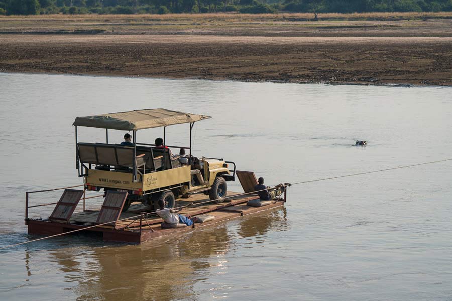
The Luangwa River and the Kafue River are the two major tributaries of the Zambezi River. The Luangwa is one of last free-flowing rivers in Southern Africa. It finds its source near the Malawi and Tanzania border at high elevation before dropping to the valley where lays the South Luangwa National Park.
The longest river lying wholly within Zambia is the Kafue River. It rises in the Copperbelt Province in the North West of the country and it is the most urban of all the Zambian rivers with more than 50% of the population living alongside the Kafue Basin. Along its course it will cross the Kafue National Park, the largest National Park in Zambia, and second largest in Africa. Combining the Luangwa and Kafue is a great way to explore Zambia’s prime and diverse wildlife sanctuaries.

Kafunta River Lodge
Gallery
Island Bush Camp
Gallery
Three Rivers Camp
Gallery
VAST LAKES & BUSTLING TOWNS

Zambia offers a number of great lakes, including Lake Tanganyika to the north which is the longest lake in the world and Lake Kariba which is the largest man-made lake upstream of the Kariba dam and a popular fishing and boating destination for Zambians. The Bangweulu Basin is a large wetland with a seasonal flooding and home to an extraordinary birdlife including the elusive Shoebill stork. To the north of basin is Kasanka National Park famous for the largest colonies of fruit bats visible in their millions in November and December. Zambia is also seeing a welcomed development of its cities and town with improved business and tourism infrastructures along with an increasingly multicultural mix of people and culture.
The Muchinga Mountains, the watershed between the Zambezi and Congo drainage basins, run parallel to the deep valley of the Luangwa River and form a sharp backdrop to its northern edge although they are almost everywhere below 1,700m (5,577ft). Their culminating peak Mumpu is at the western end and at 1,892m (6,207ft) is the highest point in Zambia away from the eastern border region. The border of the Congo Pedicle was drawn around this mountain.
